


ATLANTIC WALL - NETHERLANDS
WAL ATLANTYCKI - HOLANDIA


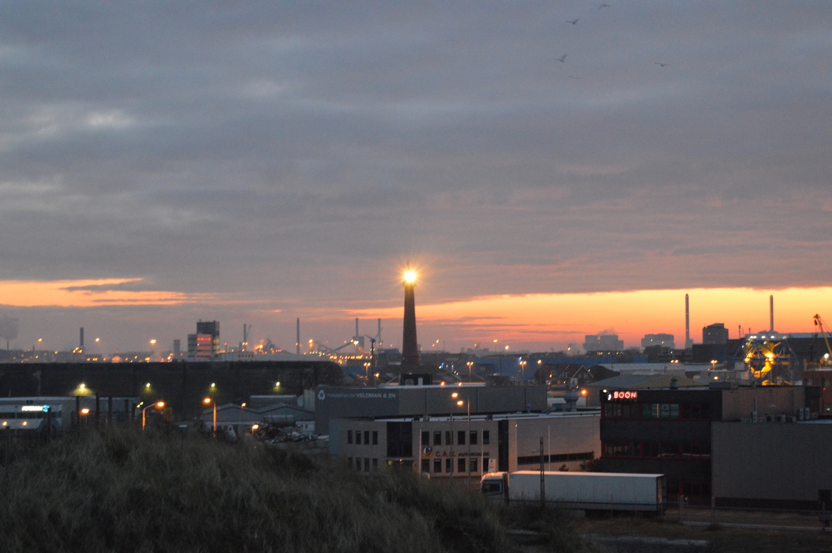
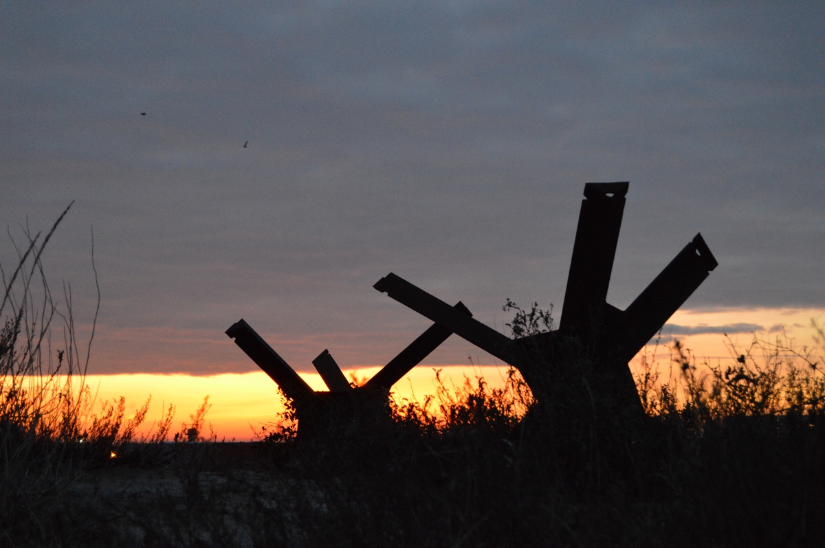
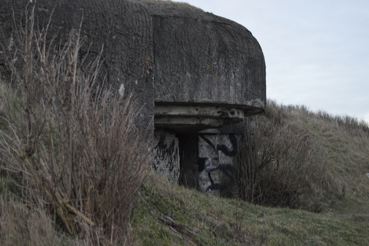
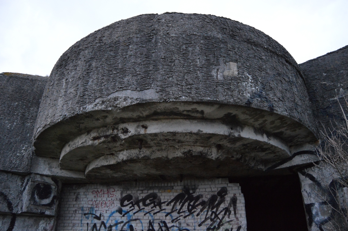
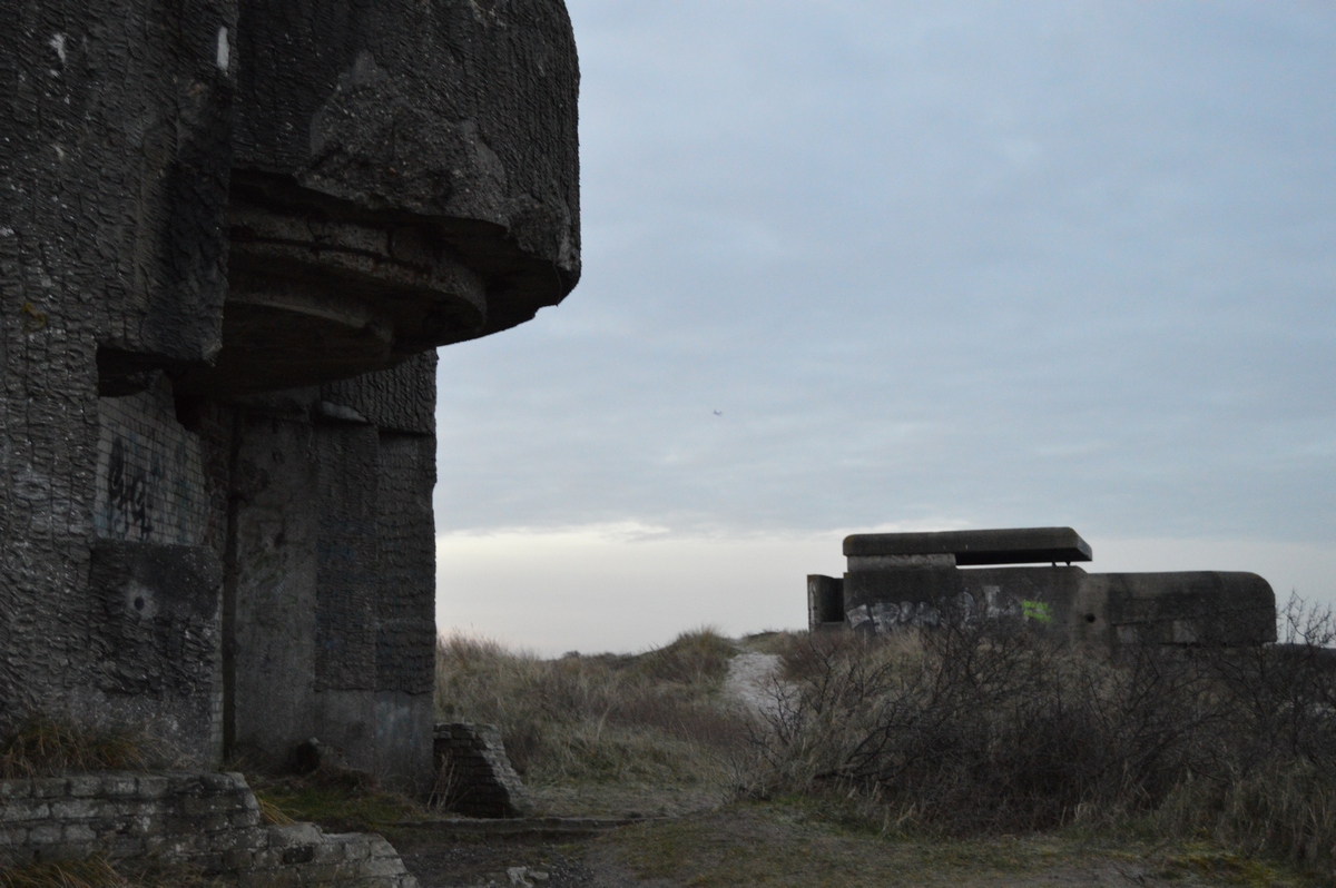
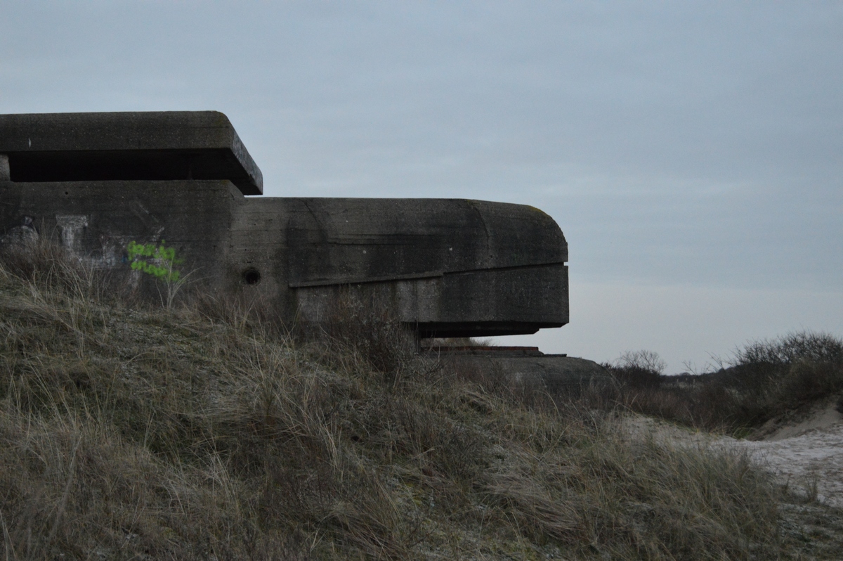
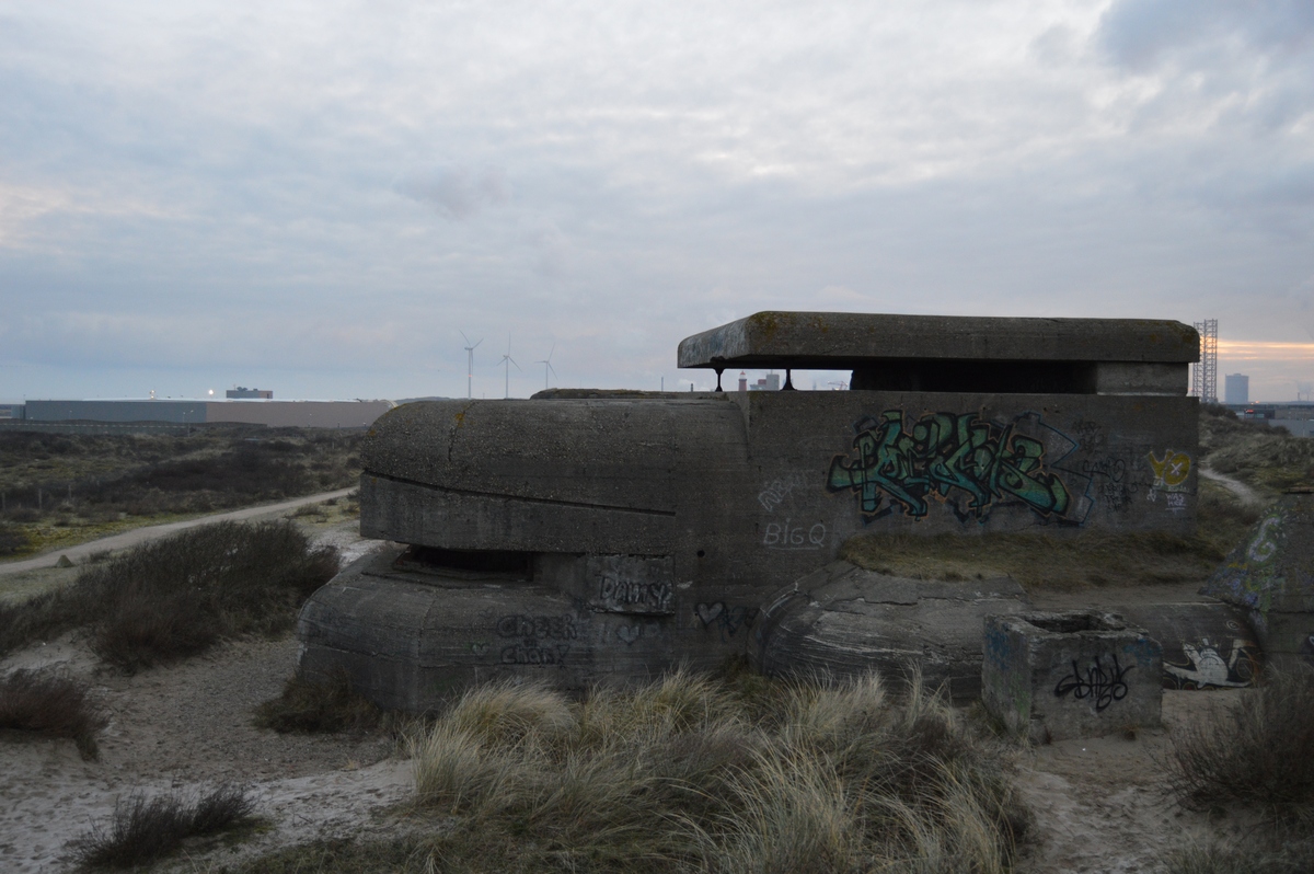
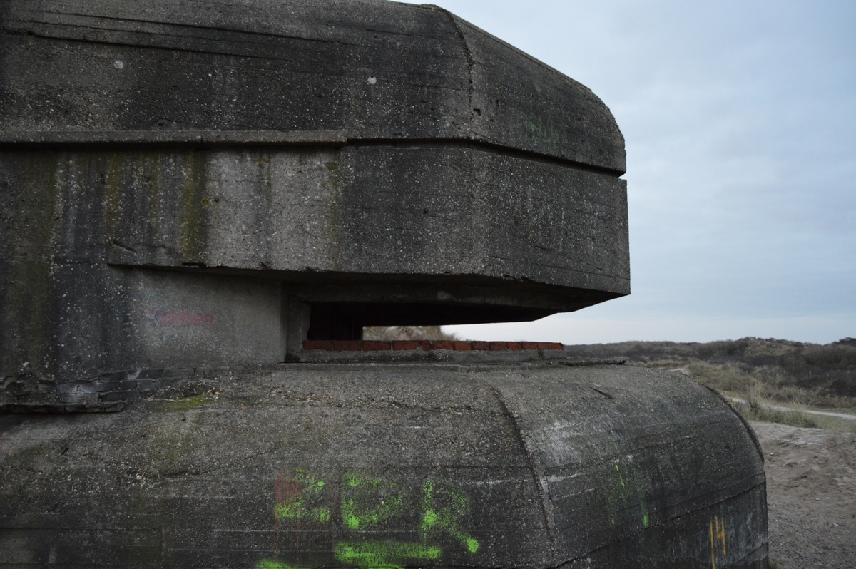
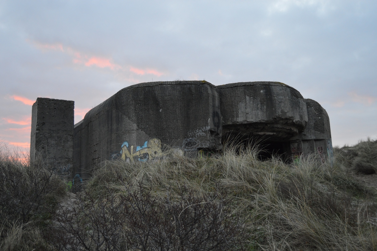
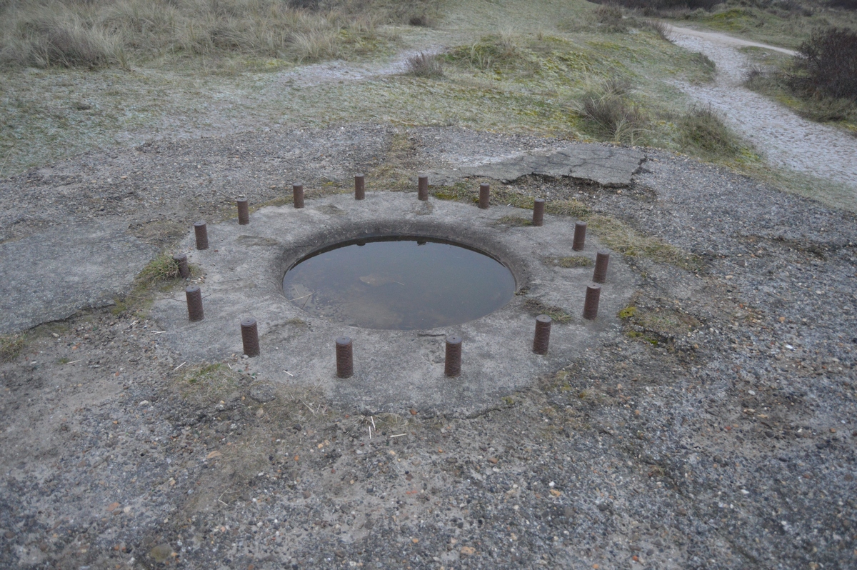
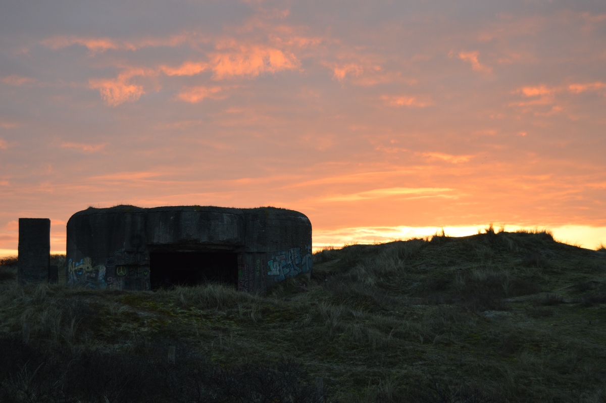
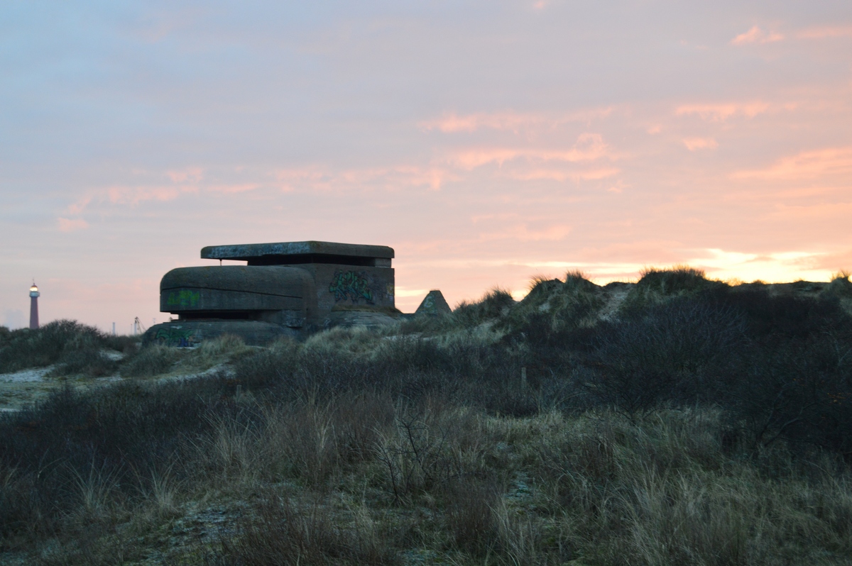
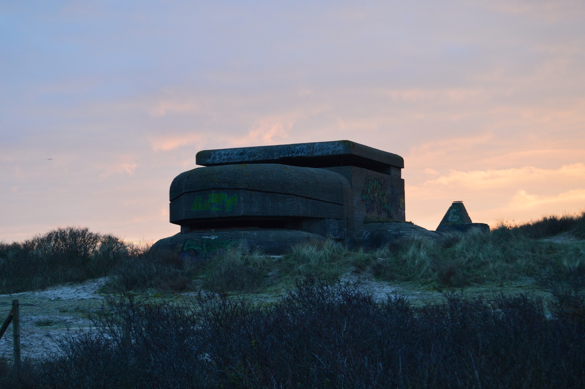
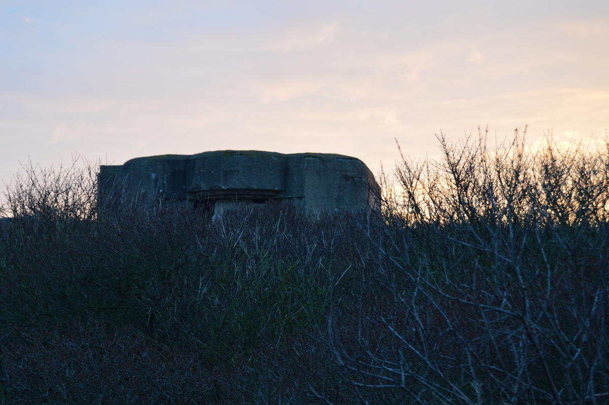
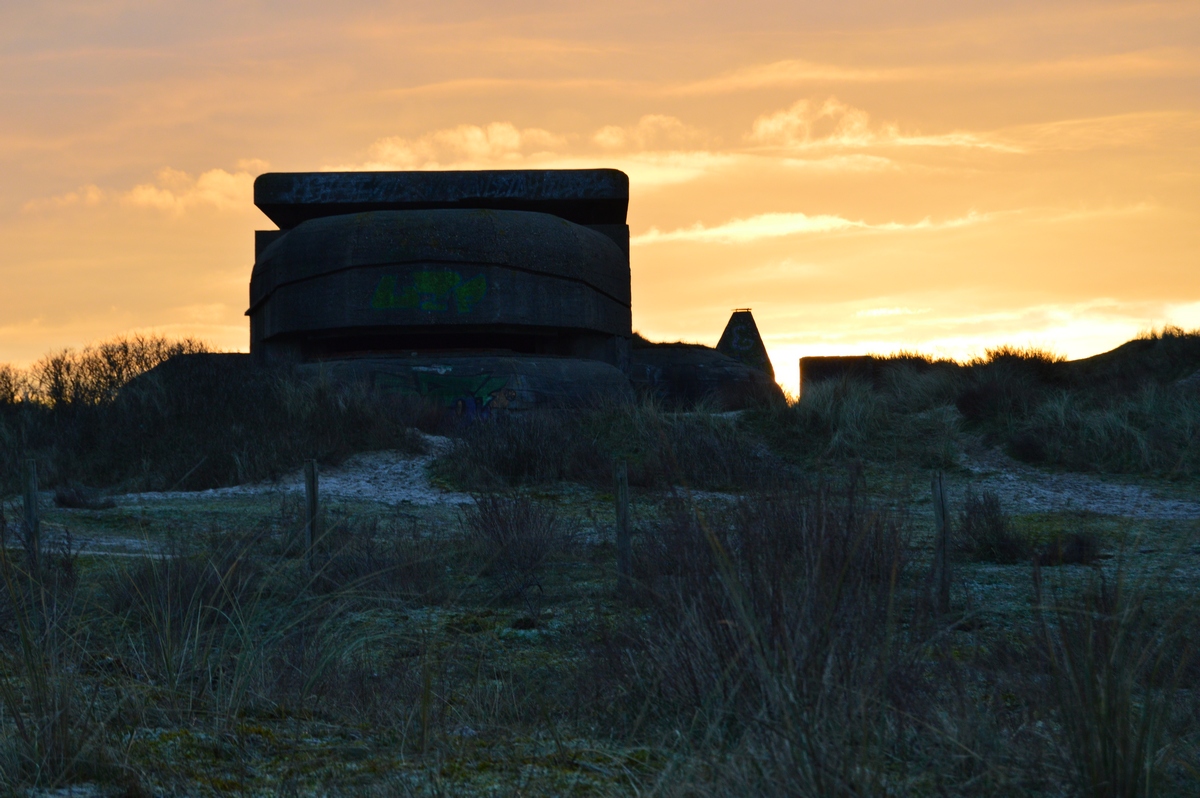
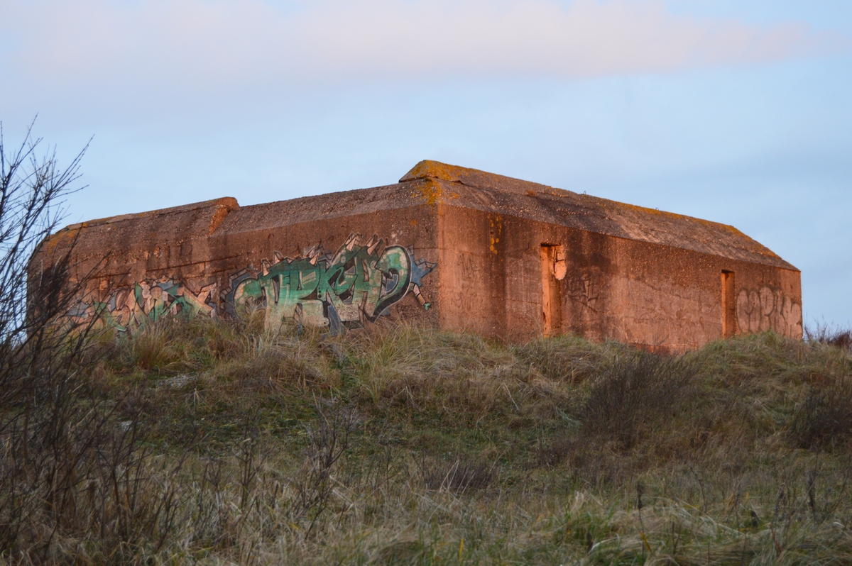
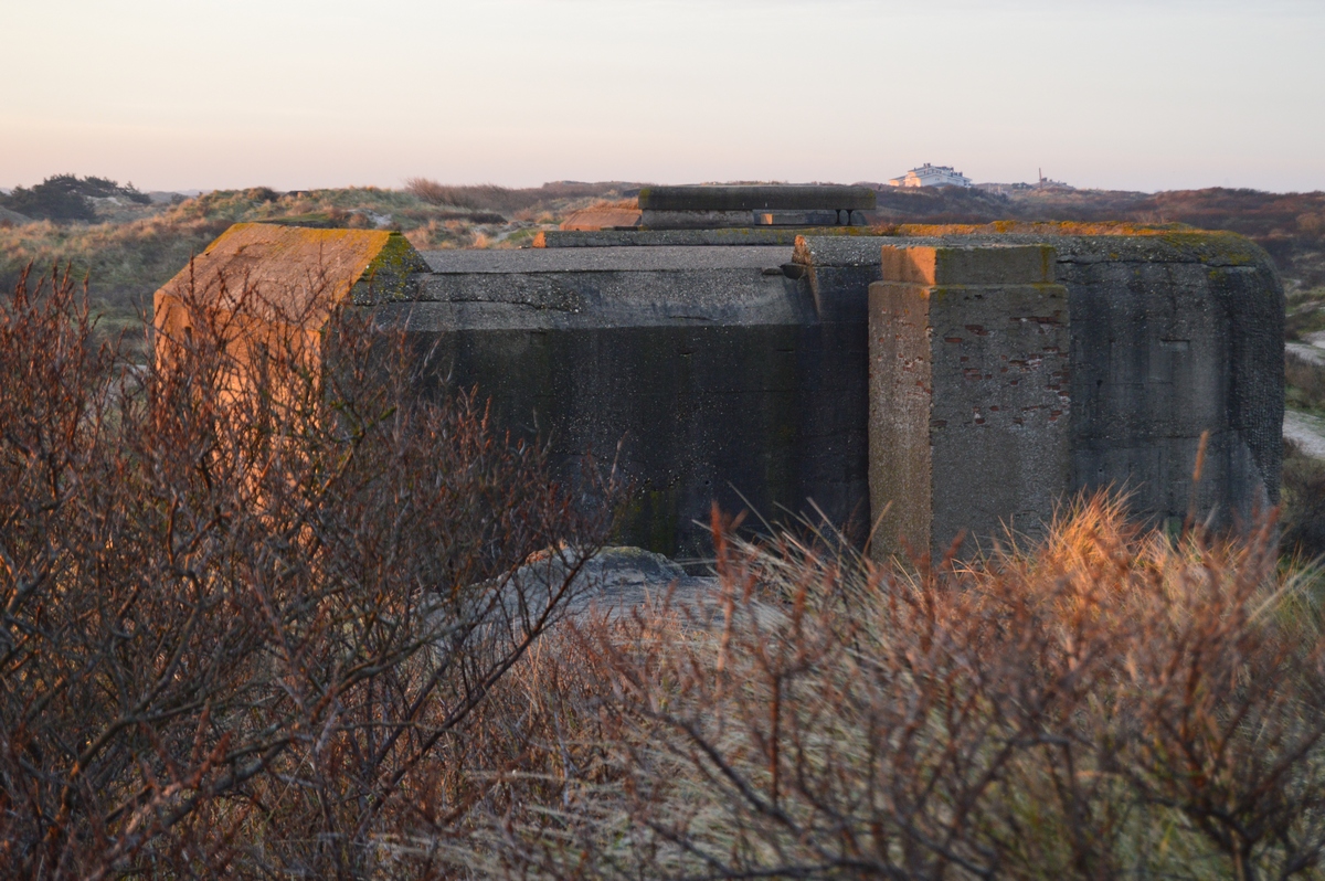
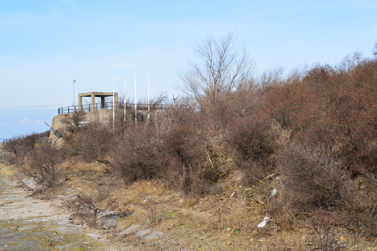
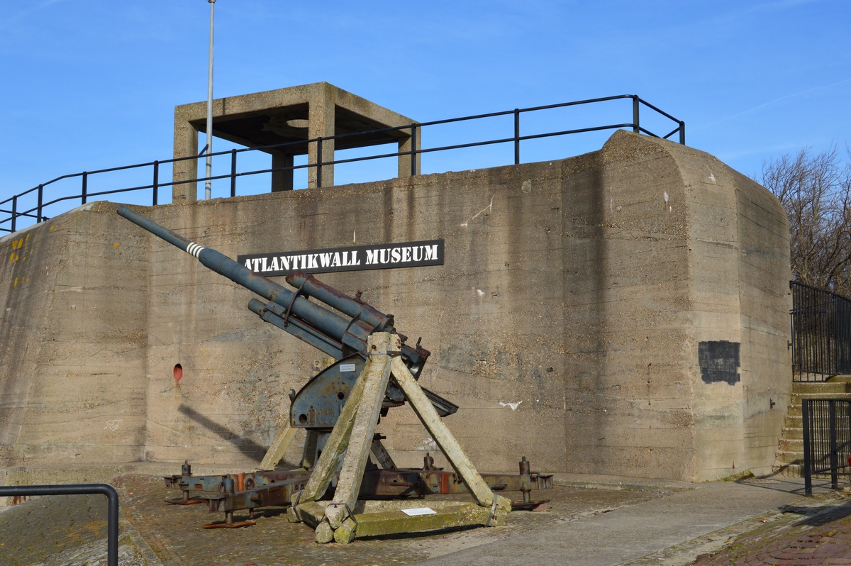
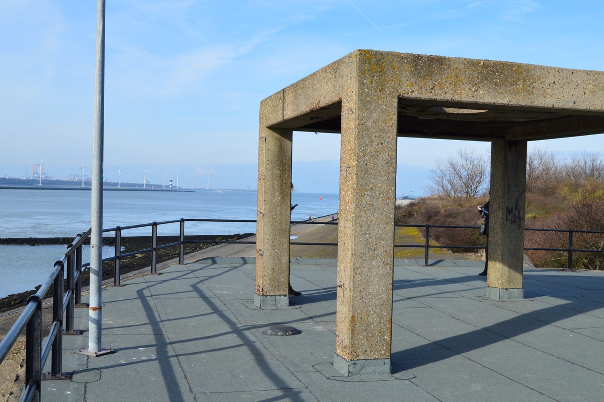
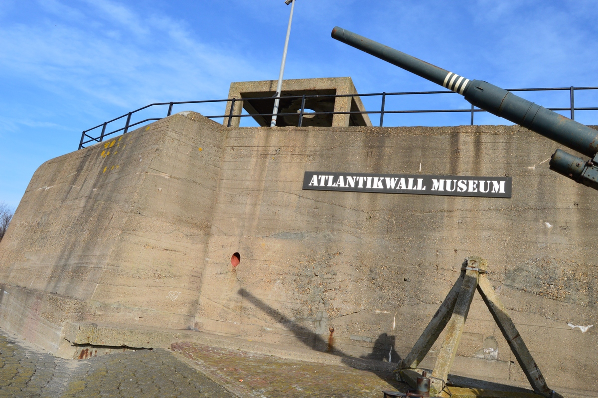
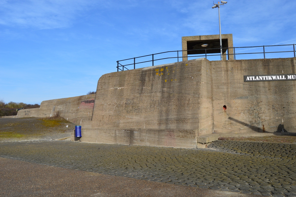
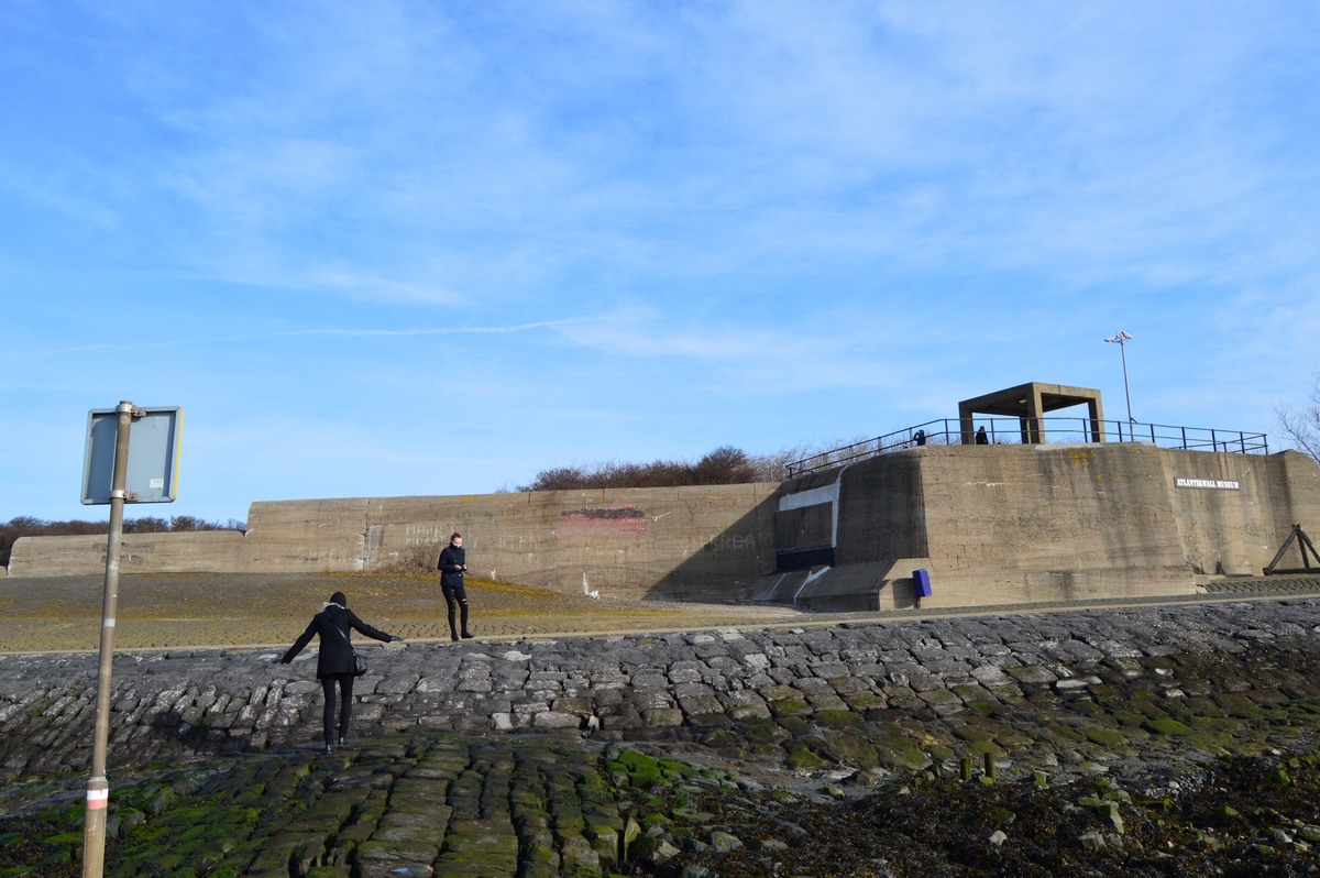
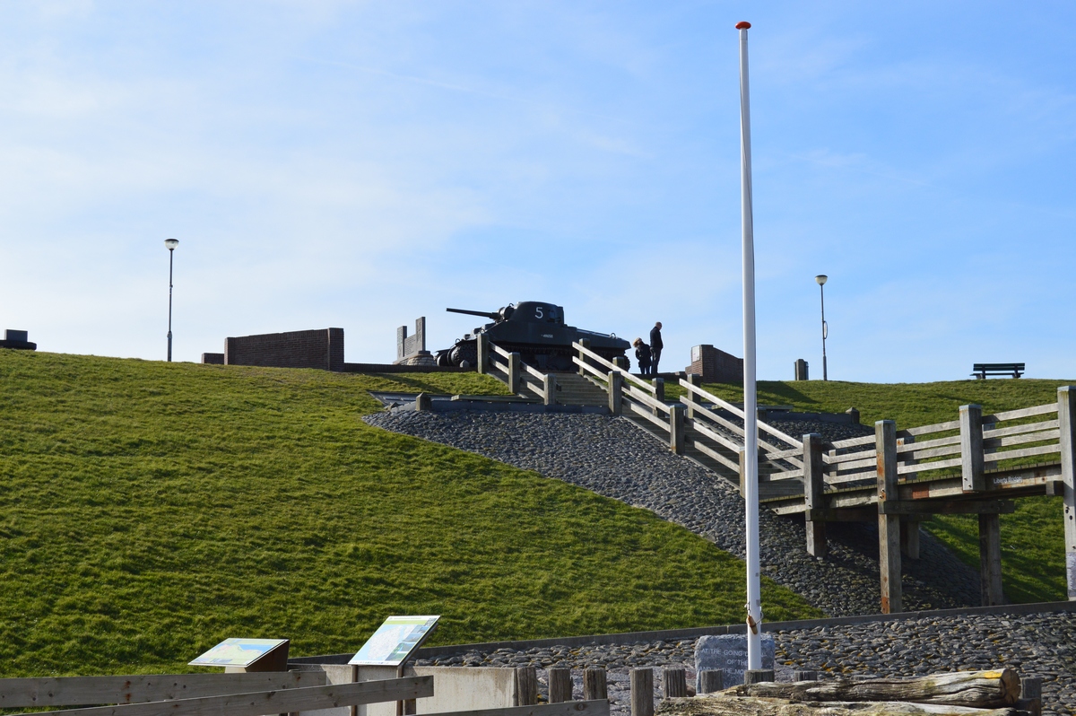
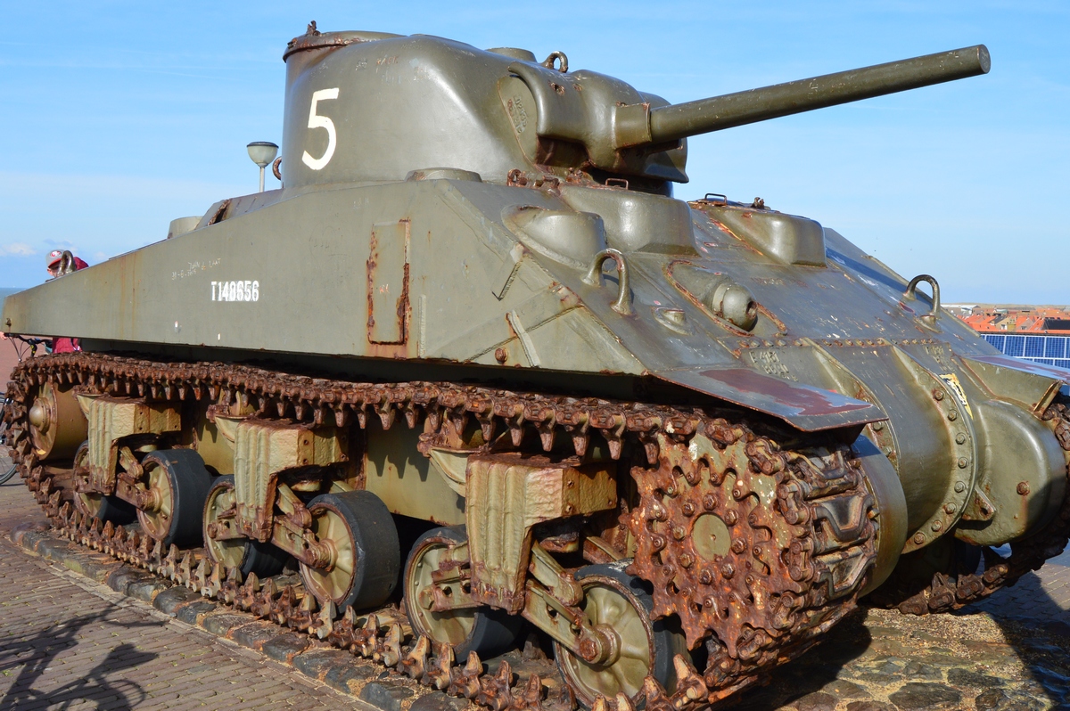
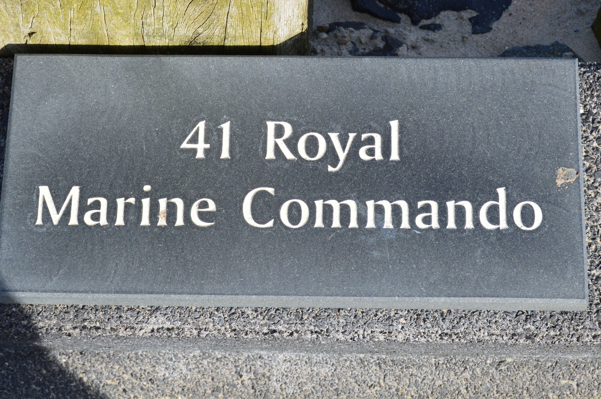
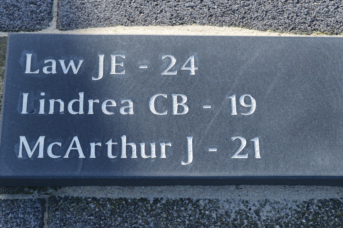
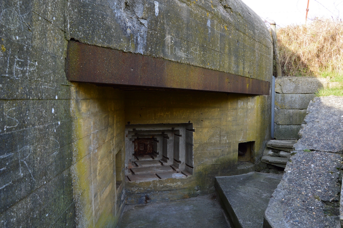
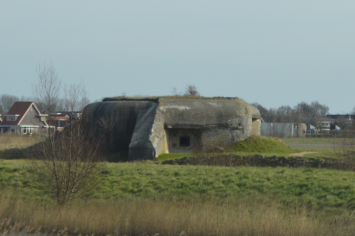
After years of planning I have finally found the time to explore the Atlantic Wall! The defences fortications stretch for approximately 2,400 miles and to see it all, I had to split my journey into parts. The first to be seen were the bunkers in The Netherlands.
These fortifications that stretch across the western coast of Europe (from the French-Spanish border to the northern ends of Scandinavia) were built by the Germans in 1942-1944. The Atlantic Wall was the first line of defence against an invasion by the Allies. The most fortified coast was the French coast seeing as it was the closest to Britain and most likely to be attacked. The most important points of resistance were: the Scheldt, Zeebrugge, Ostend, Dunkirk, Calais, Boulogne, Le Havre, La Rochelle, Saint-Nazaire, Quiberon, Lorient, Brest, Alderney, Saint-Malo, and Cherbourg.
Below you'll find photos from my journey to The Netherlands, which took place in February 2016:

Po latach planow w końcu znalazłem czas na wypad na Atlantic Wall!
Fortyfikacje obronne zwane "Murem Atlantyckim" ciągną się na zachodnim wybrzeżu Europy (od granicy francusko-hiszpańskiej do północnych krańców Skandynawii) na dlugosci około 3600 km. Zostały zbudowane przez Niemców w latach 1942-1944. Mur Atlantycki był pierwszą linią obrony przed inwazją aliantów. Najmocniej ufortyfikowanym odcinkiem było wybrzeże francuskie, ponieważ znajduje się najbliżej Wielkiej Brytanii i Niemcy spodziewali sie ataku w tym miejscu. Najważniejszymi punktami oporu były: Scheldt, Zeebrugge, Ostenda, Dunkierka, Calais, Boulogne, Le Havre, La Rochelle, Saint-Nazaire, Quiberon, Lorient, Brest, Alderney, Saint-Malo i Cherbourg.
Aby zobaczyć je wszystkie, musialem podzielić podróż na części. Pierwszym odcinkiem, który zobaczylem, były bunkry w Holandii. Poniżej znajdują się zdjęcia z mojej podróży, która odbyłem się w lutym 2016r:
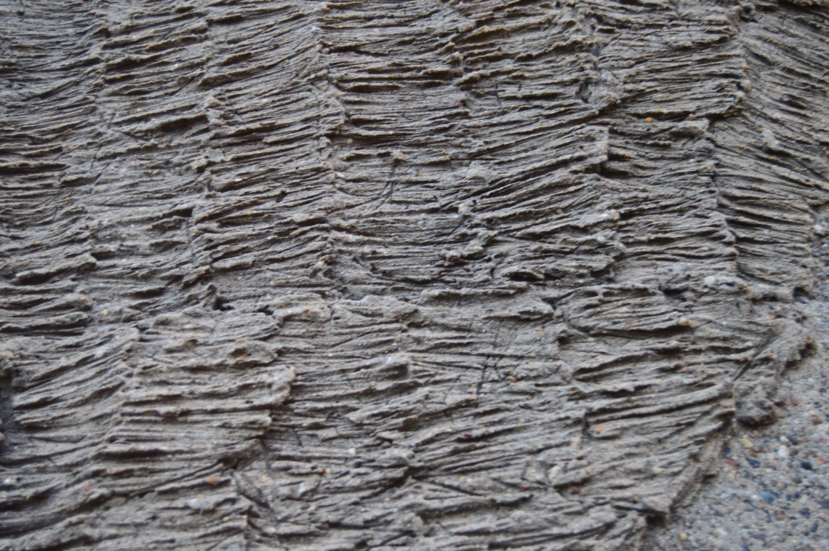
Gallery 2016:
Location:
